AutoCAD Civil 3D is a building information modeling (BIM) solution for civil engineering, that helps project teams deliver higher-quality transportation, land development, and environmental projects faster.
Explore design ideas and analyze what-if scenarios to help optimize performance before projects are built. Extend Civil 3D model data to perform geospatial and stormwater analysis, generate quantity takeoffs, and support automated machine guidance during construction. Civil 3D provides the BIM advantage and tools you need to deliver more innovative design solutions.

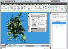
It is an AutoCAD plug-in that allows you to import and manage spatial data.

This patch is for the network version of AutoCAD Land Development Desktop R2.


Comments (5)
Thank you.
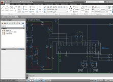
All the commands of the program are grouped in the upper side of the main window for an easy access. The wide variety of tools helps civil engineers create and design in an easy and organized environment.
AutoCAD Civil 3D offers solutions for dynamic takeoff and earthwork calculations, corridor modeling, storm and sanitary pipework, alignments and profiles, roundabouts and intersections and even for surfaces , grading, and dynamic relationships.
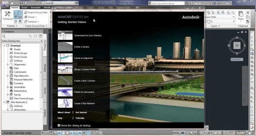
For the more inexperienced users, the program features a very useful help section, where a large number of tutorials videos and other additional resources are available to give you an idea of how to use AutoCAD Civil 3D.
The high applicability of this software, the large number of tools and the short loading time make it one of the best in this field of expertise.